| Bypass Canal |
23 Apr 2024 |
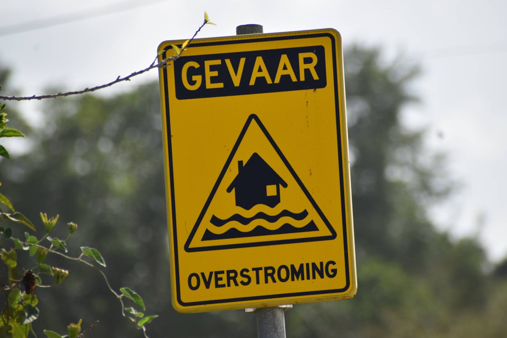
| Flood Depth |
18 Apr 2024 |
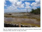
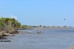
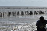
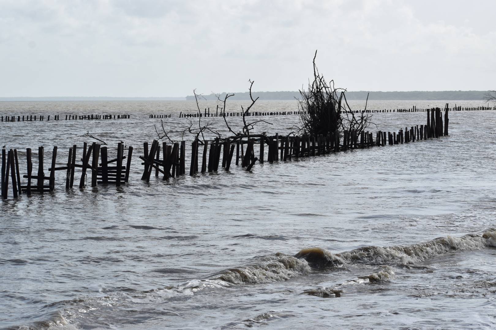
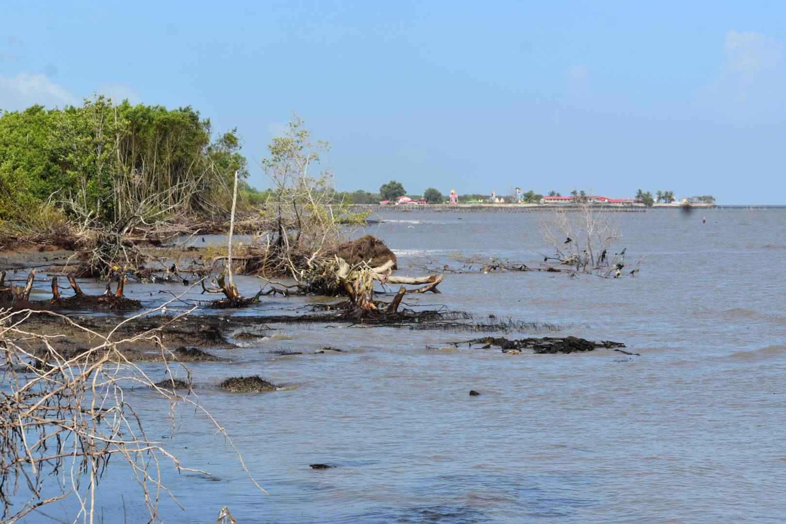
| Coastal Erosion and measures to protect Cabarete Dominican Republic |
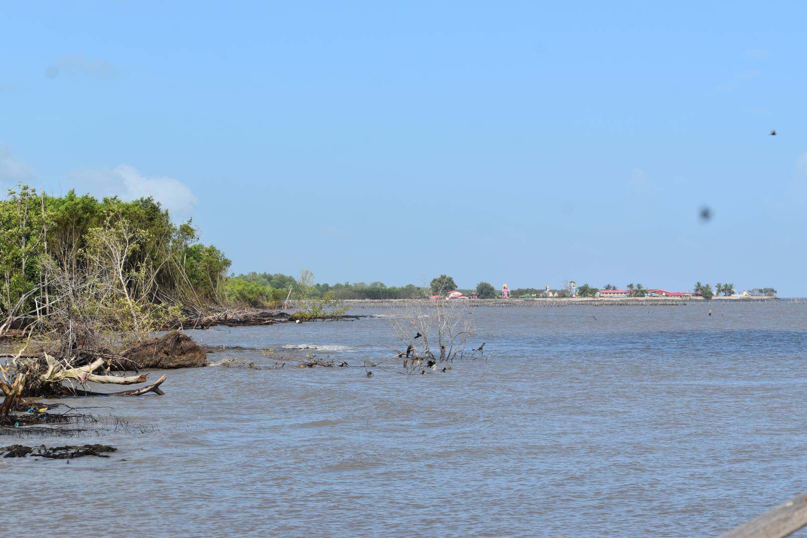
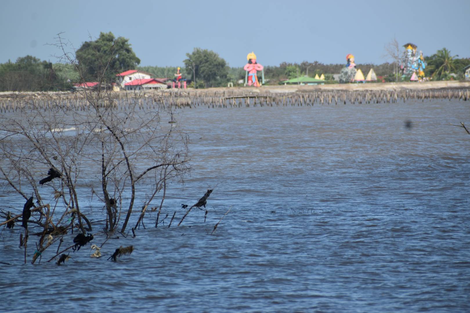
26 Mar 2024 |
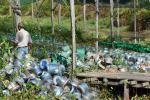
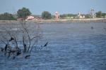
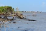
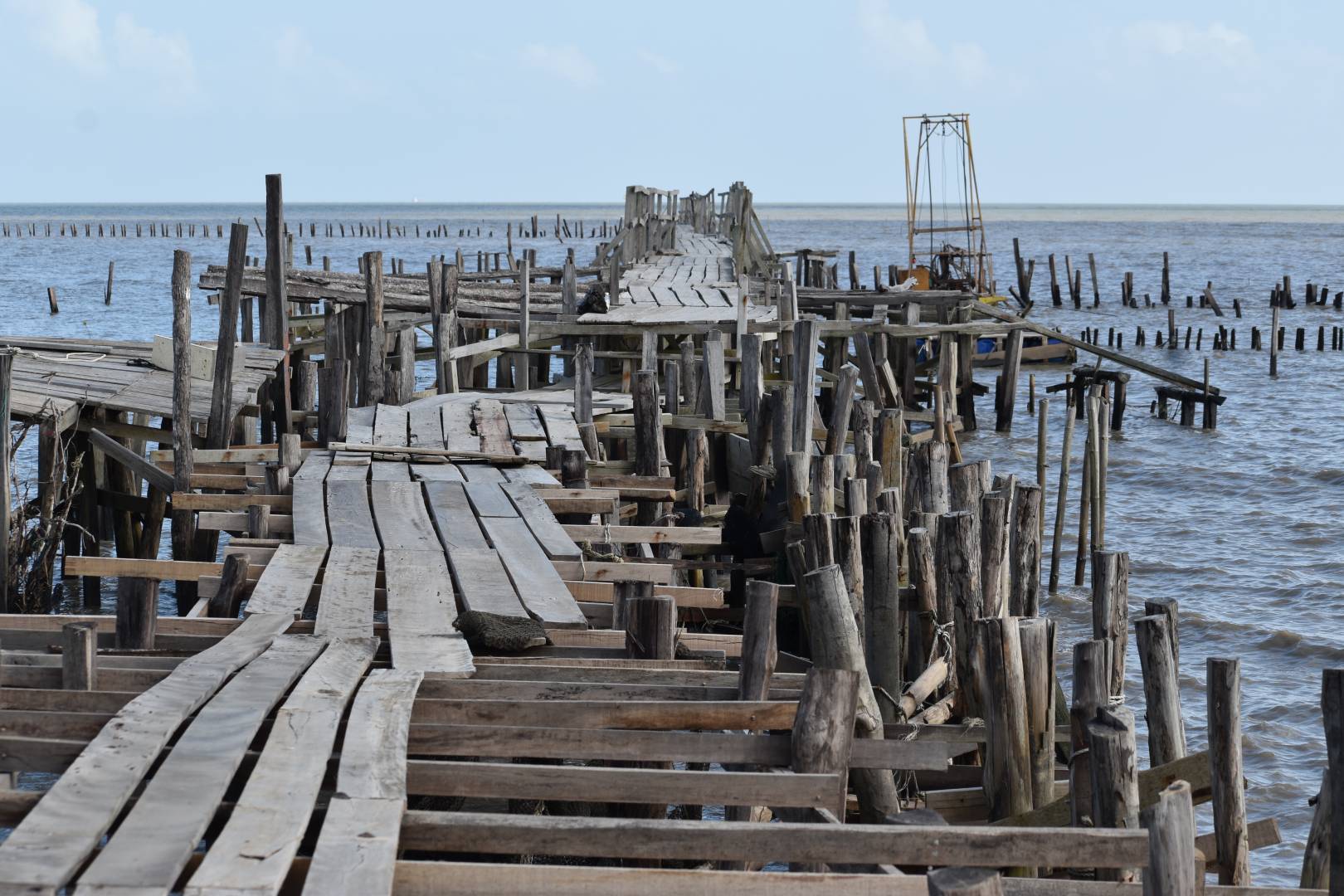
| Coastal protection and recycled furniture Gaspar Hdez Rio San Juan Dominican Republic (check location) |
26 Mar 2024 |
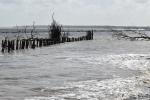
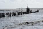
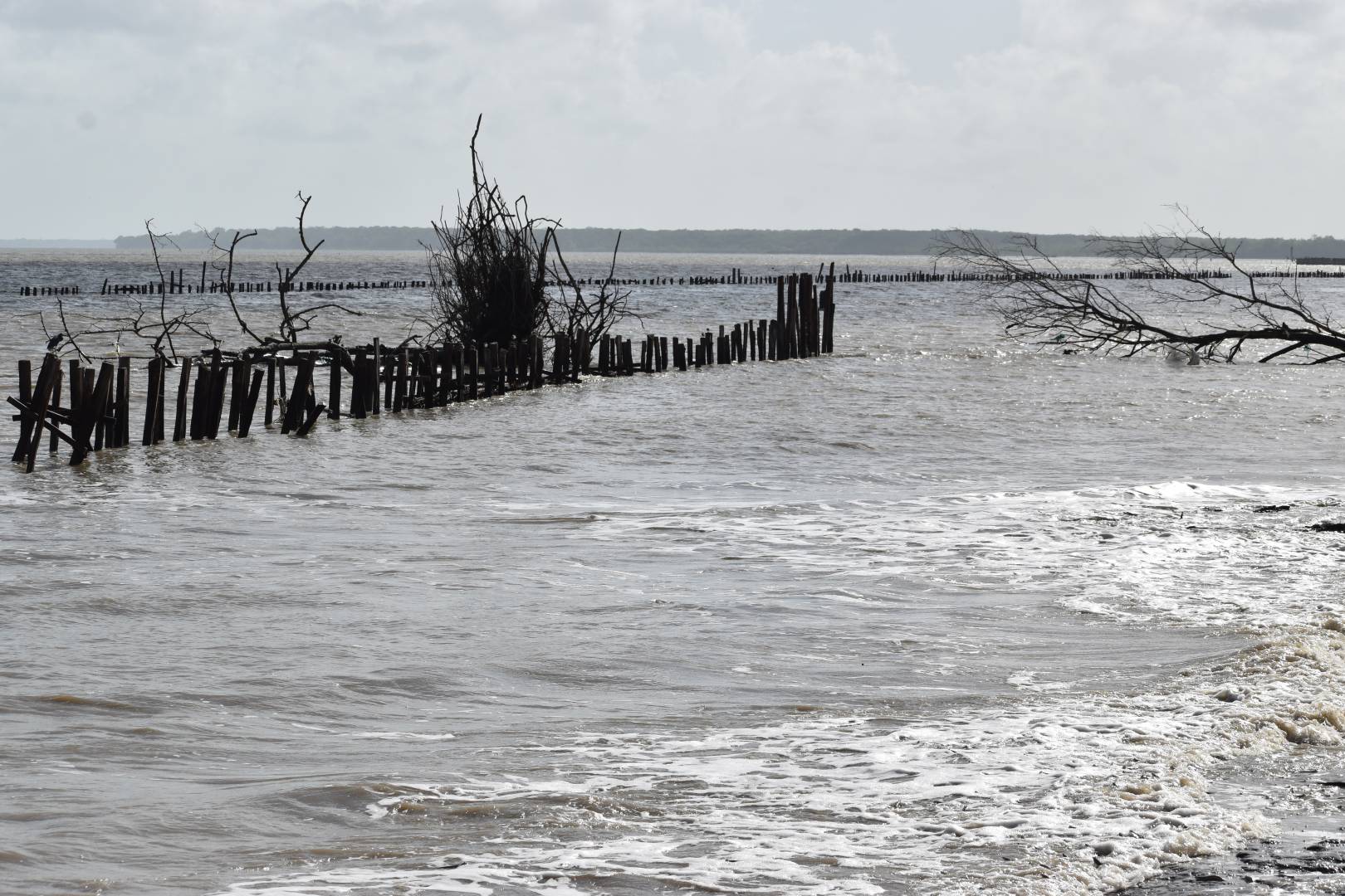
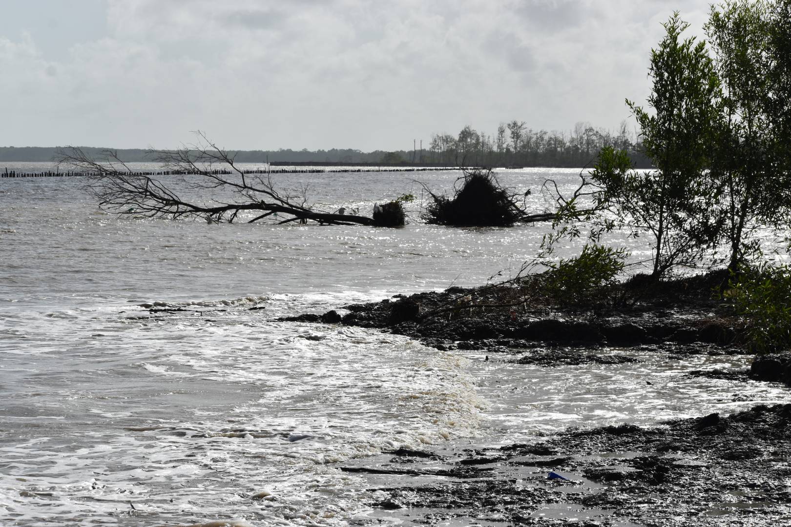
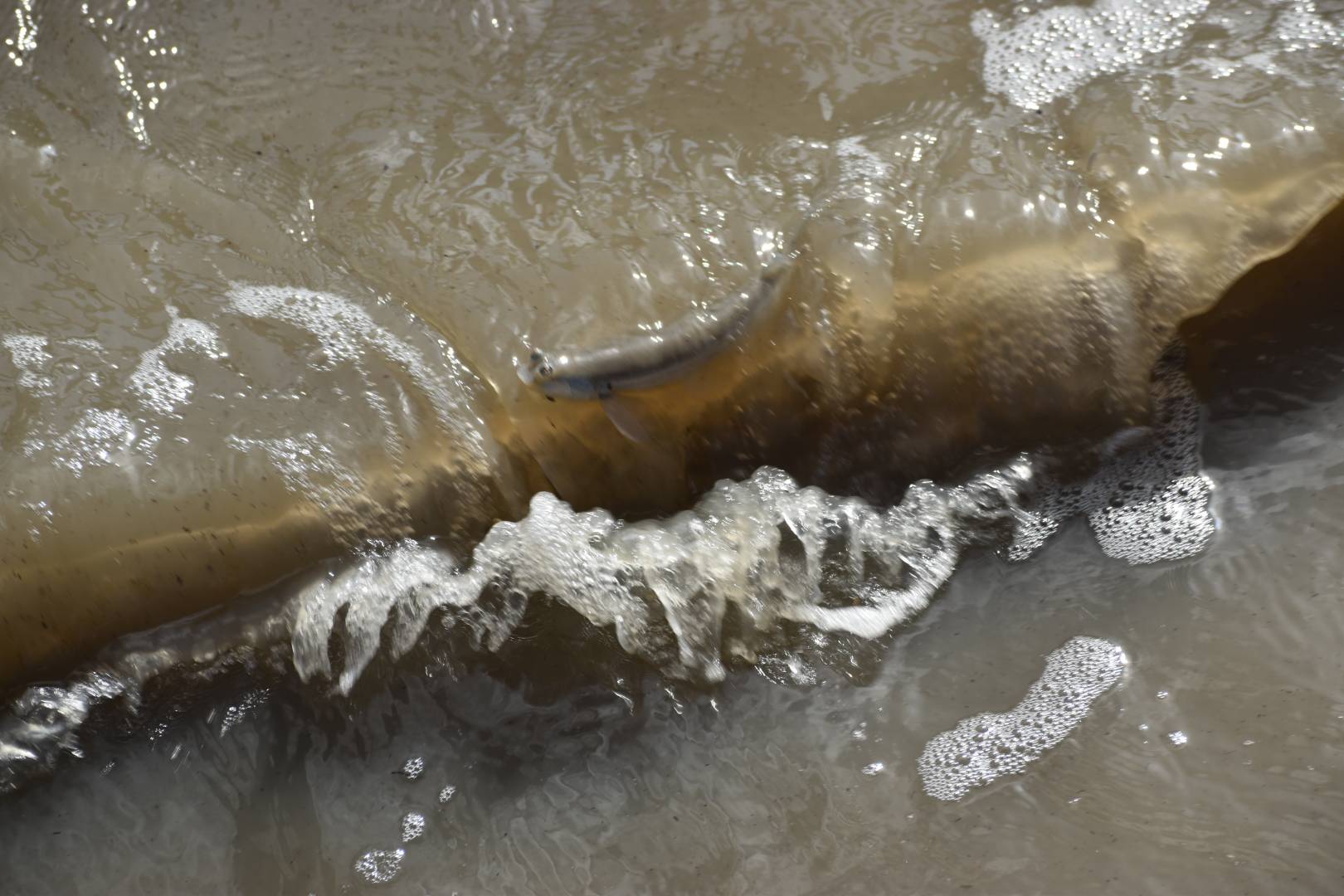
| Coastal Erosion protection measures Cabarete Dominican Republic |
24 Mar 2024 |
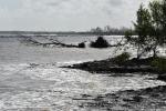
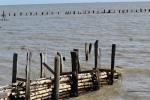
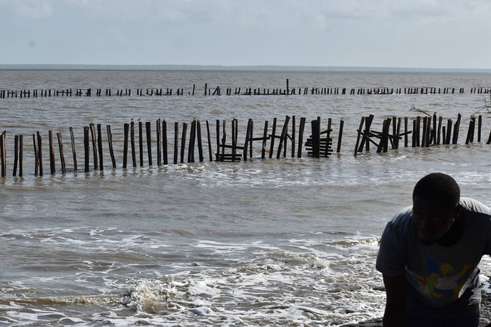
| Coastal Erosion and measures to protect damage on Coconots restaurant Cabarete Dominican Republic |
08 Mar 2024 |
| Lincoln Circus |
19 Feb 2024 |
| Organic Vegetable Container hydroponic Garden - Umapad Barangay, Mandaue City |
16 Feb 2024 |
| Rainwater harvesting kigali |
22 Jan 2024 |
| Listruper Emswehr during the Christmas Floods of 2023 - Listrup, Emsbüren |
15 Jan 2024 |
| Weihnachtshochwasser 2023 - Emsbrücke & Camping zum alten Fährhaus, Emsbüren |
12 Jan 2024 |
| Weihnachtshochwasser 2023 - Gleesen an (in) der Ems, Niedersachsen |
12 Jan 2024 |
| Grass planter in city centre |
22 Dec 2023 |
| Compostier Worm Farm, The Hague Centre |
03 Dec 2023 |
| The Basilica Cistern istanbul |
02 Dec 2023 |
| Rainwaterharvesting and usage, Katwijk aan Zee |
01 Dec 2023 |
| Field hockey pitch water storage and usage |
01 Dec 2023 |
| Community Garden Zusterstraat, Stichting Jacobahof, The Hague |
01 Dec 2023 |
| Educational Garden Kortenbos Den Haag |
30 Nov 2023 |
| Cistern in Buffalo Bayou Park Housten USA BMP |
19 Nov 2023 |
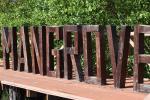
| Cultural history: Rainwater harvesting Fort Nieuw Amsterdam Suriname |
11 Nov 2023 |
| Aquaponics Anton de Kom University Paramaribo Suriname |
04 Nov 2023 |
| Brokopondo Reservoir & Rainwater harvesting Ston Island & waterkwaliteit monitoring (ecoli) Suriname |
04 Nov 2023 |
| regenwaterhergebruik high rise building Paramaribo |
31 Oct 2023 |
| Advanced water conservation strategies: Amerikaanse ambassade Paramaribo |
31 Oct 2023 |
| Sluis Weg naar Zee Paramaribo Suriname |
31 Oct 2023 |
| Rainwater harvesting Fort Nieuw Amsterdam Suriname |
29 Oct 2023 |
| Rainwater harvesting Peperpot Suriname |
29 Oct 2023 |
| regenwater hergebruik Brownsberg Suriname |
29 Oct 2023 |
| regenwater hergebruik Brownstown |
29 Oct 2023 |
| waterwall zwolle Assendorp (locatie nog checken) |
25 Oct 2023 |
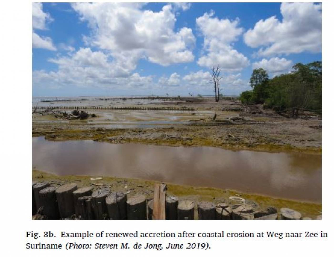
| Regenwater hergebruik en Mangrove rehabilitatie project Weg naar Zee, Parimaribo Suriname |
07 Oct 2023 |
| Regenwater hergebruik en Mangrove rehabilitatie project Weg naar Zee, Parimaribo Suriname |
07 Oct 2023 |
| Abadukondre voor een deel onder water |
07 Oct 2023 |
| Regenwatersysteem Poortershoes Groningen |
28 Sep 2023 |
| Wadi - bermsloot voor verwerking regenwater Heveadorp/ Doorwerth |
02 Sep 2023 |
| Tsunami danger zone evacuation route Estoril Portugal |
27 Aug 2023 |
| 'Mangrove Rehabilitatie Project Weg naar Zee: herstel van de mangrovebegroeiing van de Surinaamse kust' s |
23 Aug 2023 |
| watersysteem voor bomen: Edisonstraat 55 Doetinchem |
07 Aug 2023 |
| Severe damage on sidewalk |
31 Jul 2023 |
| De Bouwgaard - Centrumeiland |
29 Jul 2023 |
| Tide Geul July 2021 |
26 Jul 2023 |
| Acqua Alta 19 november 2019 |
26 Jul 2023 |
| Italian Pavilion Biennale 2016 |
26 Jul 2023 |
| Venice bollards |
26 Jul 2023 |
| Venice high water |
26 Jul 2023 |
| Benutting regenwater bij Sint-Maartenskerk Zaltbommel |
25 Jul 2023 |
| rainwater harvesting Botanical garden Riga Latvia |
21 Jul 2023 |
| Development opportunity |
20 Jul 2023 |
| Development opportunity |
20 Jul 2023 |
| rainwater harvesting & well & pond Latvia/Water well (and swimming pond) |
16 Jul 2023 |
| Steenbreek en superkolk (NOVI) project |
09 Jul 2023 |
| Reconstructie Westwout fase 5 |
29 Jun 2023 |
| Impermeable road surface |
28 Jun 2023 |
| Flooded canal overflow |
28 Jun 2023 |
| Flooded area, Lionel Street |
28 Jun 2023 |
| Klimaatbestendige inrichting marktplein Raalte |
27 Jun 2023 |
| Bomendak Grote Markt groningen |
26 Jun 2023 |
| Rainwater harvesting and urban farming Pampus Muiden The Netherlands |
25 Jun 2023 |
| regenwater hergebruik De VerbroederIJ Amsterdam |
24 Jun 2023 |
| Waterlab zuivering regenwaterkwaliteit |
24 May 2023 |
| Rainwater harvesting and solar panels Gilutongan Philippines |
03 May 2023 |
| nieuwbouw Schenkeveld Schiphol. 50.000 m3 opslag van gietwater voor tomatenkwekerij |
01 May 2023 |
| Rainwater harvesting Cebu Philippines |
26 Apr 2023 |
| Tsunami evacuation route davao Philippines |
24 Apr 2023 |
| Team 9 | Butuanon River Midstream | Metro Cebu River Scan Challenge 2023 |
19 Apr 2023 |
| ClimateCafé Cebu Group 11 - Butuanon River (Downstream) |
19 Apr 2023 |
| Road Damage place 2 Dili East Timor photos 2022 and 2023 |
02 Apr 2023 |
| Bridge damage over river, Dili Timor Leste |
25 Mar 2023 |
| Overtopping bridge flood in april 2021 Dili Eat Timor |
25 Mar 2023 |
| monastery garden with Caves & urban farming Steyl Limburg The Netherlands |
04 Mar 2023 |
| Plate at St. Charles Avenue mentioning 800-gallon cistern (3028 litre, approx. 3 cubic meter) |
30 Dec 2022 |
| Waterberging in oude zwembad Valkenhuizen (2020) |
22 Dec 2022 |
| Oosthavenkade (buitendijks) Vlaardingen The Netherlands |
06 Nov 2022 |
| Te Papa Ōtākaro Avon River Park |
28 Oct 2022 |
| Climate Cafe 2nd edition Piura |
26 Oct 2022 |
| rainwaterharvesting and vegetated pond private house New Orleans |
22 Oct 2022 |
| Rainwater harvesting at GNOF (greater New Orleans Foundation) tested |
22 Oct 2022 |
| art work with Swale Rainwaterharvesting BMP New Orleans tested |
22 Oct 2022 |
| gebruik regenwater Museum Boijmans Van Beuningen Rotterdam |
12 Oct 2022 |
| regenwatergebruik Bol Com Waalwijk |
12 Oct 2022 |
| Road Damage place 1 near mining Dili East Timor photos 2022 and 2023 |
09 Oct 2022 |
| Water flooding local Gdansk |
21 Sep 2022 |
| Rainwater harvesting in barrells, Gdansk Poland |
21 Sep 2022 |
| Flooding |
20 Sep 2022 |
| regenwater benutting grootschalig bij tuinders Rijsenhout |
21 Aug 2022 |
| regenwater gebruik (regenton en waterput) papenveer |
21 Aug 2022 |
| Urban gardening garden waterharvesting energy shower Kvasice Tjechie |
15 Aug 2022 |
| rainwater harvesting Gauja, Letvia |
09 Aug 2022 |
| De Prinses op de Erwt - een buurtmoestuin in het centrum van Diemen |
06 Aug 2022 |
| regenton 2.0 particulier Amstelveen |
02 Aug 2022 |
| Green infrastructure 2010 or before |
28 Jul 2022 |
| klimamauer bij Jade Hochschule in Stadt Oldenburg, Germany |
27 Jul 2022 |
| Wadi tuin Vorden |
28 Jun 2022 |
| Broxden Pond |
27 Jun 2022 |
| MANAGED AQUIFER RECHARGE AND AVOID FLOODING |
26 Jun 2022 |
| DIGIRES UNIVERSITY OF SAN CARLOS OF GUATEMALA |
26 Jun 2022 |
| Syphon Twekkelerbeek / Westerval |
24 Jun 2022 |
| De grift |
23 Jun 2022 |
| The level of river has increased and potentially affected settlements observed |
18 Jun 2022 |
| Affected agricultural zone and potentially affected structure observed |
18 Jun 2022 |
| Flooded settlements and inundated area surrounding the Tasitolu Lake observed |
18 Jun 2022 |
| Flooded settlements surrounding the lake observed |
18 Jun 2022 |
| The water in the river has increased and potentially affected structure observed |
18 Jun 2022 |
| Flood waters and potentially affected settlements observed |
18 Jun 2022 |
| Flood waters and potentially affected settlements observed |
18 Jun 2022 |
| Flood waters and potentially affected settlements observed |
18 Jun 2022 |
| increased waterlevel and potentially effected road AND STRUCTURES OBSERVED |
18 Jun 2022 |
| SATELLITE DERIVED FLOOD ASSESSMENT | DILI AND LIQUICA DEPARTMENTS , TIMOR-LESTE | 9 APRIL 2021 |
18 Jun 2022 |
| flooded structures observed Dili |
18 Jun 2022 |
| flood vulnerability: increased water level and Potentially affected structure observed |
18 Jun 2022 |
| flood vulnerability: increased water level and Potentially affected structure observed |
18 Jun 2022 |
| Muddy waters obscure the land-sea boundary at Dili Port. |
17 Jun 2022 |
| landslide blocking road east out of Dili toward Christo Rei statue |
17 Jun 2022 |
| Osmosefabriek Demiplus |
17 Jun 2022 |
| Dili floods |
17 Jun 2022 |
| Risk of marine flooding 2040 - Wellington |
11 Jun 2022 |
| Risk of marine flooding 2040 - Auckland |
11 Jun 2022 |
| WMO 2021: Sea level rise globally, warm water and increasing acidity |
11 Jun 2022 |
| not good parking spot (test project) |
08 Jun 2022 |
| Oudenarde, Bridge of Earn Detention Basin |
08 Jun 2022 |
| Wishaw Castlehill Grove Pond |
08 Jun 2022 |
| Climate change flood area - village disappearing into the sea |
07 Jun 2022 |
| Climate change flood area - oldest railway Spain will collapse |
07 Jun 2022 |
| Oppervlakkige afwatering en opvang/infiltratie Sullivandreef en Brittendreef |
03 Jun 2022 |
| Dakota South Queensferry wetland |
29 May 2022 |
| Ardler Village Dundee Wentworth Lane Swale |
29 May 2022 |
| Ardler Village Dundee Gleneagles Avenue Swale |
29 May 2022 |
| Ardler Village Dundee Detention Basin |
29 May 2022 |
| Ardler Village Dundee linear wetland |
29 May 2022 |
| Ardler Village Dundee Turnberry Avenue Swale |
29 May 2022 |
| Ardler Village Dundee East Pond |
29 May 2022 |
| Waterafvoer |
25 May 2022 |
| Aanpak water op straat Altforst |
21 May 2022 |
| Climateproof Clausplein Eindhoven |
17 May 2022 |
| Infrastructure along evacuation route with improved flood, erosion and landslide protection standard |
15 May 2022 |
| Road infrastructure along evacuation route with improved flood, erosion and landslide protection standard |
15 May 2022 |
| Rehabilitation and strengthening school with improved wind mitigation with additional landslide and flooding protection structures |
15 May 2022 |
| Infrastructure along evacuation route with improved flood, erosion and landslide protection standard |
15 May 2022 |
| Gabion and concrete works to protect rural access road and evacuation route from flooding, landslides and erosion by floodplain flows |
15 May 2022 |
| Infrastructure along evacuation route with improved flood and erosion protection standard |
15 May 2022 |
| Infrastructure along evacuation route with improved flood and erosion protection standard |
15 May 2022 |
| Road infrastructure along evacuation route with improved flood, erosion and landslide protection standard |
15 May 2022 |
| Drainage systems along evacuation routes with improved flood, erosion and landslide protection standard |
15 May 2022 |
| Drainage systems along evacuation routes with improved flood, erosion and landslide protection standard |
15 May 2022 |
| Drainage systems along evacuation routes with improved flood, erosion and landslide protection standard |
15 May 2022 |
| Culvert system along evacuation route with improved flood and landslide protection standard |
15 May 2022 |
| Drainage system along evacuation route with improved flood and landslide protection standard |
15 May 2022 |
| Drainage system along evacuation route with improved flood protection standard |
15 May 2022 |
| Cable suspended bridge for safe access during river flooding |
15 May 2022 |
| Drainage channel along evacuation route with improved flood protection standard |
15 May 2022 |
| Weir and irrigation system with improved flood protection standard |
15 May 2022 |
| Road infrastructure along evacuation route with improved erosion protection standard |
15 May 2022 |
| Culvert along evacuation route with improved flood protection standard |
15 May 2022 |
| Mitigating flooding in community settlement with drainage channel |
15 May 2022 |
| Flood SMS early warning system |
15 May 2022 |
| Pedestrian bridge and footpath with improved flood protection standard |
15 May 2022 |
| Cable suspended bridge for safe access during river flooding |
15 May 2022 |
| Roadside drainage system along evacuation route for flood and erosion mitigation |
15 May 2022 |
| Cable suspended bridge for safe access during river flooding |
15 May 2022 |
| Infrastructure along evacuation route with improved flood, erosion and landslide protection standard |
15 May 2022 |
| Infrastructure along evacuation route with improved flood, erosion and landslide protection standard |
15 May 2022 |
| School drainage and retaining wall for flood and landslide mitigation |
15 May 2022 |
| Community drainage system to prevent flooding within community |
15 May 2022 |
| Infrastructure along evacuation route with improved flood and landslide protection standard |
15 May 2022 |
| Ardler Village Dundee West Pond |
12 May 2022 |
| Woonrijp maken Bloemenvelde, waterberging met steenwol |
10 May 2022 |
| Cranhill Park retrofit Basin |
09 May 2022 |
| Croftcroighn Road Glasgow retrofit basin |
09 May 2022 |
| Blairtummock Whamflett Burn deculvert (daylight) |
09 May 2022 |
| Blairtummock Basin |
09 May 2022 |
| White Cart Flood Prevention Scheme |
09 May 2022 |
| Climate change flood area - city of Miami (Miami Beach |
06 May 2022 |
| Clyde Gateway East Business Park Linear Wetland |
03 May 2022 |
| South Dalmarnock Regional SuDS Pond |
03 May 2022 |
| Diagonal Walk linear raingardens Dalmarnock Glasgow |
03 May 2022 |
| Redevelopment Pétrusse Valley / Petrusse Park - waterproof maken |
01 May 2022 |
| New park Ban de Gasperich |
01 May 2022 |
| Irreler wasserfälle weggespoeld 14-15 juli 2021 |
30 Apr 2022 |
| Moss Heights Community Park, Glasgow SuDS |
26 Apr 2022 |
| Moss Heights Community Park, Glasgow SuDS |
26 Apr 2022 |
| Moss Heights Community Park, Glasgow SuDS |
26 Apr 2022 |
| Regenwaterbenutting voor bier - Brouwerij de Prael (2016-2019) |
06 Apr 2022 |
| Regenwaterbenutting voor bier - Brouwerij Lowlander |
06 Apr 2022 |
| Bier van regenwater - Blue city Rotterdam - brouwerij Vet&lazy |
06 Apr 2022 |
| Regenwaterbenutting bier - Brouwerij de Hemel (2018-2019) |
06 Apr 2022 |
| Sandyhills Park |
04 Apr 2022 |
| Reconstructie marktplein (stormwater harvester) en omgeving |
08 Mar 2022 |
| Wadi Prinsenhove |
07 Mar 2022 |
| Herinrichting Winkelcentrum de Thij Oldenzaal |
17 Feb 2022 |
| Afgekoppelde regenpijpen en oppervlakkige afwatering inbreiding Kerkstraat Berkel-Enschot |
11 Feb 2022 |
| Gebruik van regenwater bij Particulier/bedrijf |
07 Feb 2022 |
| Regenwater en beekoverlast watermuseum |
06 Feb 2022 |
| Infiltratieriolen HeerlerHeide Heerlen |
21 Jan 2022 |
| wateroverlast |
18 Jan 2022 |
| wateroverlast limburg 2021 Mamelis bij tante Toos |
24 Dec 2021 |
| Waterzak Nesciopark |
23 Dec 2021 |
| Bufferblock Building Groningen |
12 Dec 2021 |
| Rainwater storage in- en outdoor |
09 Dec 2021 |
| infltratie en benutting regenwater drinkwater (binnenkort), SIlvolde |
05 Dec 2021 |
| IBCtanks for catching and reuse of rainwater |
01 Dec 2021 |
| GJ tuin hergebruik Regenwater |
01 Dec 2021 |
| Circular Green Wall Loskade Suikerterrein Groningen The Netherlands |
21 Nov 2021 |
| ondergrondse waterberging Gemeentehuis Heemskerk |
13 Oct 2021 |
| Bioswale |
06 Oct 2021 |
| regenwater berging (stormwater harvesting) Building Groningen The Netherlands |
06 Oct 2021 |
| Flood vulnerability at construction IJburg Amsterdam The Netherlands |
24 Sep 2021 |
| Wateroverlast Siddeburen |
22 Aug 2021 |
| Water zelfvoorzienend gebouw |
05 Aug 2021 |
| subsurface waterstorage and heatstress planting a tree Groningen The Netherlands |
23 Jul 2021 |
| flooding 2300 dwellings in city centre of Valkenburg 13-15th of july 2021 |
23 Jul 2021 |
| flooding after heavy rain 21th of july 2021 - leevee breach |
23 Jul 2021 |
| rainwater nuissance 17-18th of july 2021 - flooded city centre of Hallein |
18 Jul 2021 |
| Evaluation rainwater nuissance and flooding Zuid Limburg 13-15th of july 2021 Algemeen |
18 Jul 2021 |
| rainwater nuissance 14-15 july 2021, flooded city of pepinster: 6 houses collapsed, , 4 people dead |
18 Jul 2021 |
| Citizen Participation to Map Out The Flood Mitigation Policy |
18 Jul 2021 |
| rainwater nuissance 14-15 july 2021, flooded city of Schuld: 6 houses collapsed, , 42 people dead |
15 Jul 2021 |
| wateroverlast brug bezweken Emmalaan - Valkenburg aan de Geul - 15 juli 2021 |
15 Jul 2021 |
| wateroverlast - afrit A2 Meerssen - 15 juli 2021 |
15 Jul 2021 |
| wateroverlast 2010 |
15 Jul 2021 |
| Nunduk |
15 Jul 2021 |
| wateroverlast camping Gronselerput 13-15 juli 2021 |
14 Jul 2021 |
| Reconstructie Industrieplein (citybrook de Veldbeek |
13 Jul 2021 |
| Sumur Resapan brantas |
13 Jul 2021 |
| Flood resilience Welang |
06 Jul 2021 |
| Woonrijp maken Klaverweide, wadi met waterberging |
09 Jun 2021 |
| Afkoppelen bloemkoolwijk Pijnboomhof |
20 Apr 2021 |
| Campus of Gdansk University Poland (before and after) |
14 Apr 2021 |
| Sedimentation reservoir Uphagena for rainwater in Gdansk Wrzeszcz |
14 Apr 2021 |
| pretreatment of surface runoff in Gdańsk |
14 Apr 2021 |
| Klimaattuin |
09 Apr 2021 |
| Melkhal: hergebruik regenwater tot drinkwater |
09 Apr 2021 |
| De Regentoren: een netwerk van slimme regenwaterbuffers bij particulieren thuis. |
09 Apr 2021 |
| 5 m3 regenwater voor elke boom. Regenwater als bluswater. |
06 Apr 2021 |
| swale - climate adaptation rainwater nuissance Het Bosje |
05 Apr 2021 |
| swale - climate adaptation rainwater nuissance Larekamp |
05 Apr 2021 |
| Hoe de UT omgaat met water University of Twente (UT) Algemeen |
02 Apr 2021 |
| Fieldlab EFRO-project NanoX: gezuiverd afvalwater hergebruikt |
02 Apr 2021 |
| RWP Dobbelmannklooster Nijmegen |
29 Mar 2021 |
| Helofytenfilter |
24 Mar 2021 |
| Hooghoudt afkoppeling regenwater en hergebruik (na zuivering) regenwater |
09 Mar 2021 |
| regenwater benutting en emissie beperking Almere |
25 Feb 2021 |
| Afkoppelregeling Gemeente Aa en Hunze |
19 Feb 2021 |
| Verkeersregulatie bij ondergelopen tunnel |
17 Dec 2020 |
| Kop Boulevard |
03 Dec 2020 |
| Duurzaam waterbeheer in de woning van Jeroen |
17 Nov 2020 |
| Technohal UT |
16 Nov 2020 |
| trifora afkoppeling regenwater sporthal Enschede |
12 Nov 2020 |
| Stadsbeek (Brook in urban setting) Enschede |
11 Nov 2020 |
| Regenwater opvang eigen terrein |
10 Nov 2020 |
| Ecodorp Barnyard living Almere The Netherlands |
10 Nov 2020 |
| Regenwater benutting Kruisweg Schiphol Rijk |
23 Sep 2020 |
| Regenwater benutting, Rijen |
26 Aug 2020 |
| Duurzame particuliere (gevel)tuin: biodiversiteit regenwaterbenutting en geveltuin |
26 Aug 2020 |
| Bewoner Tilburg met duurzaam waterbeheer in Tuin |
26 Aug 2020 |
| camping sneeuwwitje Ermelo: regenwaterhergebruik, zonnepanelen etc |
22 Jul 2020 |
| Standard Bank Rosebank |
21 Apr 2020 |
| SAPPI Southern Africa Limited - Rosebank Office |
08 Apr 2020 |
| MDA Construction and Technology Attorneys |
07 Apr 2020 |
| Knightsbridge Building G |
07 Apr 2020 |
| Knightsbridge Building C |
07 Apr 2020 |
| Knightsbridge Building B |
07 Apr 2020 |
| Knightsbridge Building A |
29 Feb 2020 |
| Golder Associates Africa |
29 Feb 2020 |
| Rainwater harvesting glass house district amstelveen |
25 Dec 2019 |
| Atholl Towers |
09 Dec 2019 |
| 39 Melrose Boulevard |
08 Dec 2019 |
| 144 Oxford Road |
08 Dec 2019 |
| 115 West Street |
08 Dec 2019 |
| Waterfall Corporate Campus - Building 1 |
06 Dec 2019 |
| Upper Grayston Block F |
06 Dec 2019 |
| Rosebank Link |
06 Dec 2019 |
| No 1 Mutual Place |
06 Dec 2019 |
| ABSA Inner City Campus - North Tower |
06 Dec 2019 |
| 90 Grayston Drive |
06 Dec 2019 |
| 37 Melrose Boulevard |
06 Dec 2019 |
| Discovery Building |
06 Dec 2019 |
| Nedbank Phase II |
04 Dec 2019 |
| Afkoppelen en opslag, Lisse |
17 Nov 2019 |
| Hemelswater delft |
12 Nov 2019 |
| rainwater harvesting project Island 1 school |
22 Oct 2019 |
| rainwater harvesting project Island 2 |
22 Oct 2019 |
| Rainwater Harvesting in Huairou, China |
12 Aug 2019 |
| Rainwater harvesting from mountain |
30 Jul 2019 |
| Rainwater harvesting mountains vietnam |
20 Jul 2019 |
| Afkoppelen Koningskerk Deventer |
11 Jul 2019 |
| Regenwaterschuttingen Breecamp Noord |
11 Jul 2019 |
| Groen Schoolplein Jenapleinschool Zwolle |
11 Jul 2019 |
| Regenwater benutting Suikerunietterein Groningen |
27 Jun 2019 |
| Road raingarden - Tasinge Plads |
15 Jun 2019 |
| Road raingarden - Tasinge Plads |
15 Jun 2019 |
| Road raingarden - Tasinge Plads |
15 Jun 2019 |
| Swale - Tasinge Plads |
15 Jun 2019 |
| Erve Brandemaat Enschede |
07 May 2019 |
| Bergingskelder hwa |
06 May 2019 |
| Regenwaterberging in glastuinbouwpolders |
07 Apr 2019 |
| Regenwaterberging in glastuinbouwpolders kwakel |
07 Apr 2019 |
| Regenwaterberging in glastuinbouwpolders Aalsmeer |
07 Apr 2019 |
| Regenwaterbergingskelder bassin |
07 Apr 2019 |
| Waterstorage Urbanus Kerk Amstelveen |
06 Apr 2019 |
| Urban Rainshell - Rainwater harvesting, treatment and reuse |
27 Mar 2019 |
| Urban Rainshell - Rainwater harvesting, treatment and reuse EWB |
27 Mar 2019 |
| Melrose Arch Precinct |
08 Feb 2019 |
| Bothlabela Village |
08 Feb 2019 |
| Warehouse in Lanseria Business Park |
08 Feb 2019 |
| Department of Environmental Affairs |
08 Feb 2019 |
| Woolworths Distribution Centre |
08 Feb 2019 |
| Vodacom Site Solution and Innovation Centre |
08 Feb 2019 |
| Group Five Head Office |
08 Feb 2019 |
| 15 Alice Lane - The Towers |
08 Feb 2019 |
| Tshedimosetso House |
08 Feb 2019 |
| Atholl Towers |
08 Feb 2019 |
| Water Sensitive Design - 44 on Grand Central |
07 Feb 2019 |
| Inanda Greens |
07 Feb 2019 |
| Anslow Park Phase II |
07 Feb 2019 |
| Eastgate 20 |
07 Feb 2019 |
| Grundfos Office Park |
07 Feb 2019 |
| Fourways Golf Park |
07 Feb 2019 |
| EY Building (102 Rivonia Road) |
29 Jan 2019 |
| Regenwater benutting Groningen |
18 Jan 2019 |
| Ancient water tanks Anuradhapura |
10 Dec 2018 |
| Water Wall - Creatieve verticale regenwaterbuffering waterwall |
29 Nov 2018 |
| Boldershof, ruimtelijke klimaatadaptatie/vergroening Amersfoort |
24 May 2018 |
| Klimaatbestendig en natuurlijk speel- en leerplein voor basisschool Esmoreit |
14 Feb 2018 |
| Regenwater opvang voor toiletgebruik |
07 Dec 2017 |
| Slatuinen natuurtuin, Amsterdam |
17 Aug 2017 |
| Suikerfabriek Urban farming |
21 May 2017 |
| Green roof & Bedriegertjes parking garage Schaek Mathonsingel (2010) |
07 May 2017 |
| Regenwatersysteem |
21 Apr 2017 |
| Rainwaterharvesting with bladder tank |
20 Apr 2017 |
| Flooding by typhoon august 2014 |
18 Nov 2015 |
| Flooding by typhoon Fanapi 14 – 21 september2010 |
03 Nov 2015 |
| Flood August 19th 2013 |
30 Sep 2015 |
| Flood July 8 2015 |
30 Sep 2015 |
| Flood 7th October 2014 |
30 Sep 2015 |
| Flood september 27st 2009 |
30 Sep 2015 |
| buurtbewoners die een groen dak en meerdere regentonnen heeft aangelegd particulier |
22 Nov 2014 |


